Skip to product information
1 of 1

Britain and Ireland Wall Map by National Geographic

Britain and Ireland Wall Map by National Geographic

Regular price $40.00 AUD
Regular price Sale price $40.00 AUD
Sale Sold out
Taxes included.

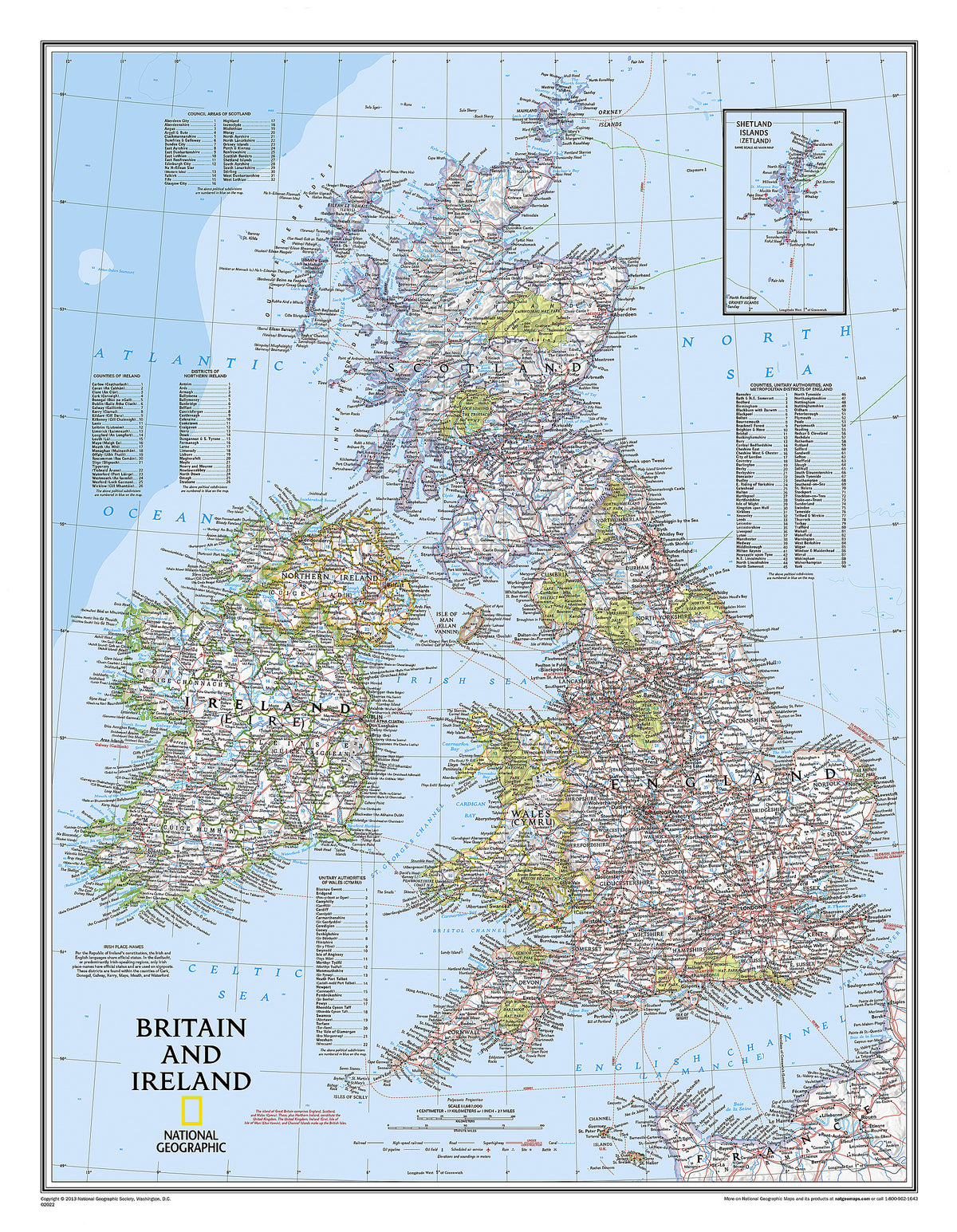
Our classic political map of Britain and Ireland shows country boundaries, thousands of place names, major highways and roads, airports, bodies of water, national parks, and more. Includes England, Ireland , Scotland, and Wales, along with Normandy across the English Channel and an inset map of the Shetland Islands.

Dimensions

597 x 768 mm

View full details
Your cart
Variant Variant total Quantity Price Variant total
Paper
Paper
$40.00/ea
$0.00
$40.00/ea $0.00
Matte
Matte
$60.00/ea
$0.00
$60.00/ea $0.00
Gloss
Gloss
$60.00/ea
$0.00
$60.00/ea $0.00

View cart
0

Total items

$0.00

Product subtotal

Taxes included. Discounts and shipping calculated at checkout.
View cart