Skip to product information
1 of 1

Caribbean Wall Map by National Geographic

Caribbean Wall Map by National Geographic

Regular price $40.00 AUD
Regular price Sale price $40.00 AUD
Sale Sold out
Taxes included.

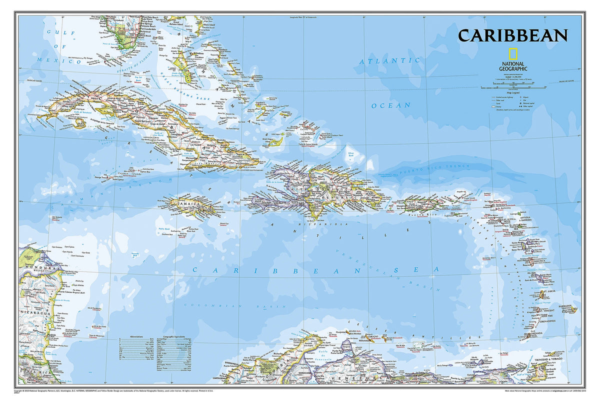
One of the most authoritative maps for the islands of the Caribbean Sea. It shows the entire region in great detail, with coverage extending from the tip of Florida to the northern extents of Colombia and Venezuela, east to Barbados, and west to the eastern edge of Honduras, Costa Rica, and Nicaragua. Updated bathymetry reveals the remarkable seafloor variation of the Caribbean including the Puerto Rico Trench, the deepest point in the Atlantic Ocean at 8,605 meters (28,232 feet). Includes over 1,000 named places including country capitals, primary and secondary towns; political boundaries, important infrastructure, and all key landforms. Useful and informative notes about the region's history and unique geography are spread throughout the map, providing the reader further understanding of the Caribbean's unique attributes.

Dimensions

914 x 609 mm

View full details
Your cart
Variant Variant total Quantity Price Variant total
Paper
Paper
$40.00/ea
$0.00
$40.00/ea $0.00
Matte
Matte
$60.00/ea
$0.00
$60.00/ea $0.00
Gloss
Gloss
$60.00/ea
$0.00
$60.00/ea $0.00

View cart
0

Total items

$0.00

Product subtotal

Taxes included. Discounts and shipping calculated at checkout.
View cart