Skip to product information
1 of 1

France, Belgium, and The Netherlands Classic Map

France, Belgium, and The Netherlands Classic Map

Regular price $40.00 AUD
Regular price Sale price $40.00 AUD
Sale Sold out
Taxes included.

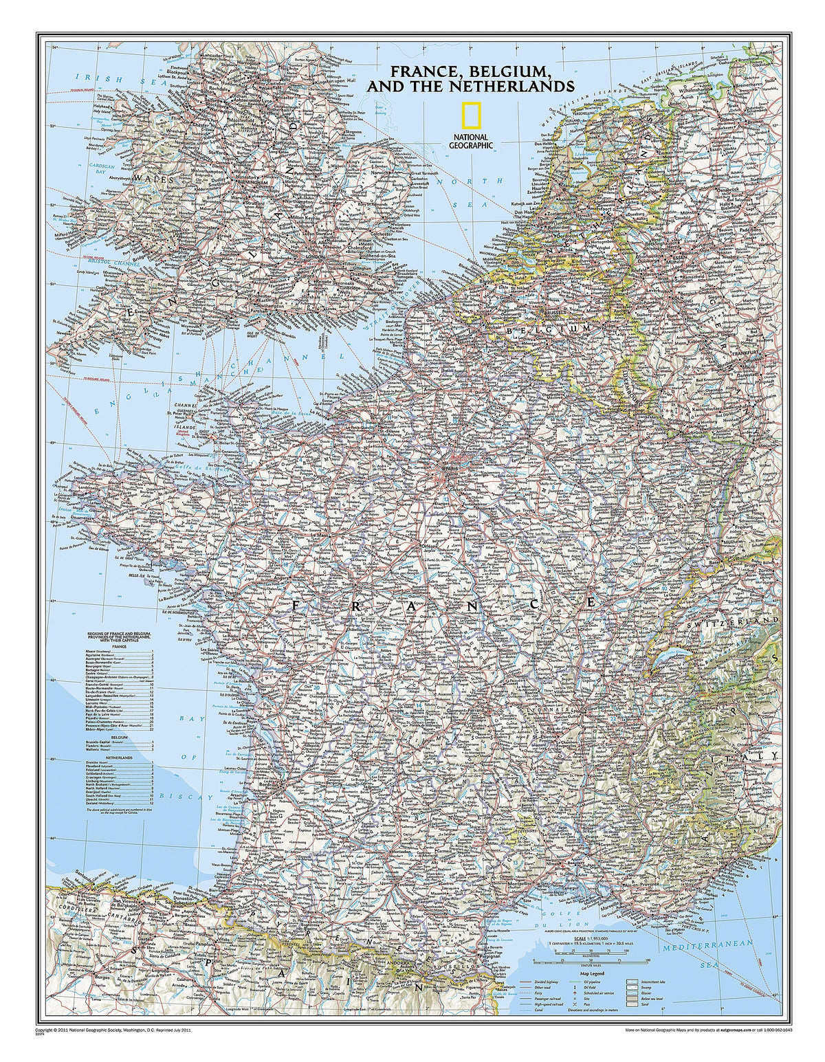
Expertly researched and designed, National Geographic's Classic style political map of France, Belgium, and The Netherlands features clearly defined international boundaries, thousands of place names, waterbodies, airports, major highways and roads, national parks, and much more. Also shown are the region's updated infrastructures, including major oil fields and pipelines; high-speed passenger railway lines; canals; and ferry routes. The tasteful color palette, shaded relief, and bathymetric data make this map as attractive as it is functional. Luxembourg and portions of the United Kingdom, Germany, Switzerland, Spain, and Italy are shown as well.

Dimensions

597 mm x 768 mm

View full details
Your cart
Variant Variant total Quantity Price Variant total
Paper
Paper
$40.00/ea
$0.00
$40.00/ea $0.00
Matte
Matte
$60.00/ea
$0.00
$60.00/ea $0.00
Gloss
Gloss
$60.00/ea
$0.00
$60.00/ea $0.00

View cart
0

Total items

$0.00

Product subtotal

Taxes included. Discounts and shipping calculated at checkout.
View cart