Skip to product information
1 of 1

Ireland Wall Map by National Geographic

Ireland Wall Map by National Geographic

Regular price $40.00 AUD
Regular price Sale price $40.00 AUD
Sale Sold out
Taxes included.

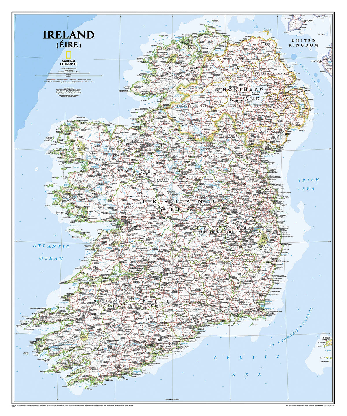
This classic-style Ireland wall map is one of the most authoritative maps yet published of the Emerald Isle. Of the nearly 1,000 placenames shown on this map, all within the Republic of Ireland adhere to that nation's constitution - the Irish and English language share official status. Thus, Gaelic (Irish) placenames, along with their English variants in parentheses, are shown within Irish-speaking regions while English placenames, along with their Gaelic variants, are shown outside these areas. Ireland Executive is ideal for those researching their Irish ancestry, a perfect tool for business reference, and a beautiful addition to any decor. It's one of the largest and most detailed wall maps specifically for Ireland available today. Includes over 1,000 named places including primary and secondary towns, counties, political boundaries, infrastructure, and selected historical sites for both Ireland and Northern Ireland. Per the Republic of Ireland's constitution, the Irish and English languages share official status. In the Gaeltacht, or predominantly Irish-speaking regions, only Irish placenames have official status and are used on signposts. These districts are found within the counties of Cork, Donegal, Galway, Kerry, Mayo, Meath, and Waterford.

Dimensions

762 x 914 mm

View full details
Your cart
Variant Variant total Quantity Price Variant total
Paper
Paper
$40.00/ea
$0.00
$40.00/ea $0.00
Matte
Matte
$60.00/ea
$0.00
$60.00/ea $0.00
Gloss
Gloss
$60.00/ea
$0.00
$60.00/ea $0.00

View cart
0

Total items

$0.00

Product subtotal

Taxes included. Discounts and shipping calculated at checkout.
View cart