Skip to product information
1 of 1

The Balkans Wall Map by National Geographic

The Balkans Wall Map by National Geographic

Regular price $40.00 AUD
Regular price Sale price $40.00 AUD
Sale Sold out
Taxes included.

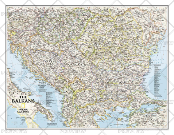
The Countries of the Balkans wallmap features thousands of place-names, political boundaries, national parks, and major infrastructure networks such as roads, canals, ferry routes, and railroads. The region's diverse terrain is detailed through shaded relief, coastal bathymetry, and symbols for water features and other landforms. Elevations of major peaks as well as depth soundings are expressed in meters.<br><br>The map covers Albania, Austria, Bosnia and Herzegovina, Bulgaria, Croatia, Hungary, Kosovo, Macedonia, Moldova, Montenegro, Romania, Slovenia, as well as the outlying border countries of Greece, Italy, Slovakia, Serbia, Turkey and Ukraine.<br><br>It also includes listings for the counties of Hungary and Romania along with their respective capitals and the administrative divisions of Bosnia and Herzegovina.

Dimensions

768 x 597 mm

View full details
Your cart
Variant Variant total Quantity Price Variant total
Paper
Paper
$40.00/ea
$0.00
$40.00/ea $0.00
Matte
Matte
$60.00/ea
$0.00
$60.00/ea $0.00
Gloss
Gloss
$60.00/ea
$0.00
$60.00/ea $0.00

View cart
0

Total items

$0.00

Product subtotal

Taxes included. Discounts and shipping calculated at checkout.
View cart