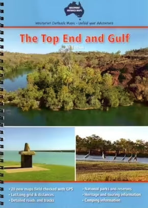
A brand new style of map booklet by Westprint. The Top End and Gulf Atlas covers the area from Croydon and Julia Creek in Queensland across to Wyndam & Halls Creek in Western Australia. 20 new double page maps in a spiral bound book. Over 30 pages of heritage and touring information. Over 70 numbered points of interest. Covers all the major tourist routes through this area.