1
/
of
1
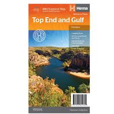
HEMA Top End and Gulf Map
HEMA Top End and Gulf Map
Regular price
$16.00 AUD
Regular price
Sale price
$16.00 AUD
Taxes included.
This regional waterproof map of the Top End and Gulf is ideal for discovering the northern parts of Australia's NT by 4WD. It includes a main map of the Darwin region, Judbarra / Gregory National Park, Nhulunbuy, Keep River National Park and Boodjamulla (Lawn Hill) National Park.
There is additional tourist information for Arnhem Land, the Roper River trek, Darwin region, Douglas-Daly district, Nature’s Way, Victoria Highway, Katherine Region and the Stuart Highway Region.
Key Features
- GPS surveyed roads and tracks
- Fuel stops
- Self-drive 4WD tracks
- Camping areas
- Historic sites
- Detailed National Park inset maps
- Waterproof paper
Dimensions
Dimensions
Share